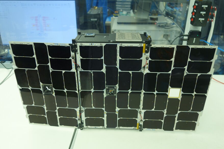
SAN FRANCISCO — GeoOptics Inc. won a NASA contract worth a maximum of $7 million over five years to provide researchers with data acquired by the company’s small satellite constellation.
The contract, announced Nov. 14, was GeoOptics’ first as part of NASA’s Commercial SmallSat Data Acquisition program. Pasadena, Calif.-based GeoOptics has supplied radio occultation data to the National Oceanic and Atmospheric Administration for weather forecasts since 2020.
GeoOptics CEO Alex Saltman welcomed the NASA award.
“We’ve always had a very strong sense of responsibility to the science community,” Saltman told SpaceNews. “All of our technologies come out of that community. Many of our employees come out of that community. And we want to provide a really great science product for researchers.”
The NASA contract directs GeoOptics to deliver a comprehensive catalog of its data products “indicating at a minimum: the data sets, associated metadata and ancillary information; data cadence; data latency; area coverage; and data usage policy,” according to the news release.
NASA acquires commercial data under licenses that allow the agency to share datasets with U.S. government agencies and partners.
GeoOptics will process radio occultation data for NASA to a higher degree of accuracy than data the company provides to NOAA for weather forecasting.
“Often when you process radio occultation data in real time, you’re using, for example, real-time orbit for GPS satellites, which are not quite as accurate as the eventual orbits that folks can determine days or weeks later,” Saltman said. “That’s one of the ways that it’s more precise.”
GeoOptics has launched 10 satellites. The company’s next launch is scheduled for late 2023. GeoOptics does not comment on how many satellites remain operational.
NASA established the Commercial SmallSat Data Acquisition pilot program in 2017 to determine whether commercial observations could augment or complement government datasets. NASA began buying datasets in 2018 after principal investigators showed the data and imagery bolstered Earth-observation research and applications.
Through the program, NASA has acquired data from Airbus U.S., BlackSky Technology, Maxar Technologies, Planet, Spire Global and Teledyne Brown Engineering.
NASA also has purchased high-resolution Digital Elevation Models produced by the EarthDEM Project, a collaboration that includes the University of Minnesota’s Polar Geospatial Center, Ohio State University’s Byrd Polar Research Center, and the University of Illinois National Center for Supercomputing Applications, and based on Maxar satellite data.
Related
ncG1vNJzZmiroJawprrEsKpnm5%2BifKixzqinraGTqHqvrdKaZJynnqm%2Foq%2FTaA%3D%3D